Langtang Valley Glaciers: Locations and Current Conditions
The Langtang Valley is a high-altitude glaciated river basin situated in Bagmati Province, Nepal. The valley sits within Langtang National Park and serves as a critical indicator of climate change across High Mountain Asia. Glaciologists monitor over 70 individual glaciers within the Langtang catchment to track rapid deglaciation.
Number of Glaciers in Langtang Valley
The number of glaciers in the Langtang Valley depends on whether you are looking at the major valley glaciers or counting every small ice body within the broader Langtang National Park.
- Major Glaciers: There are 4 major valley glaciers that dominate the immediate Langtang catchment.
- Total Glaciers: There are over 70 glaciers of varying sizes across the broader Langtang region and National Park.
Major Glaciers in Langtang Valley
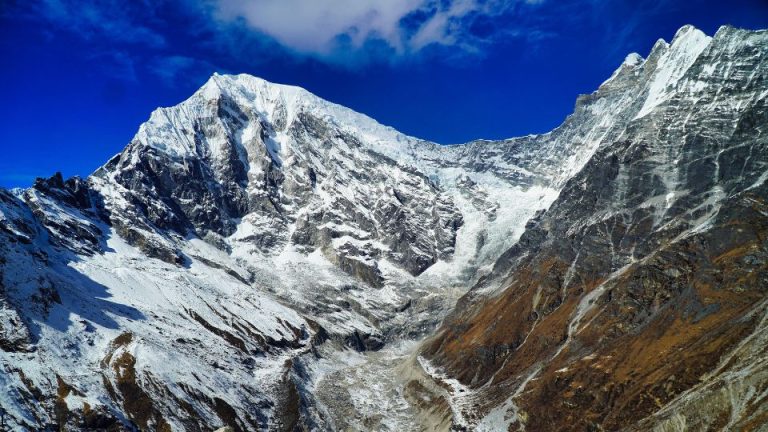
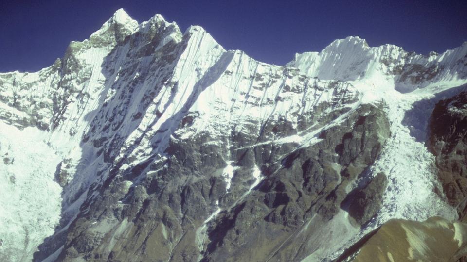
The area is often referred to as the “Valley of Glaciers” due to the massive ice bodies that shaped its U-shaped valleys and continue to feed the Langtang River. The primary ones include:
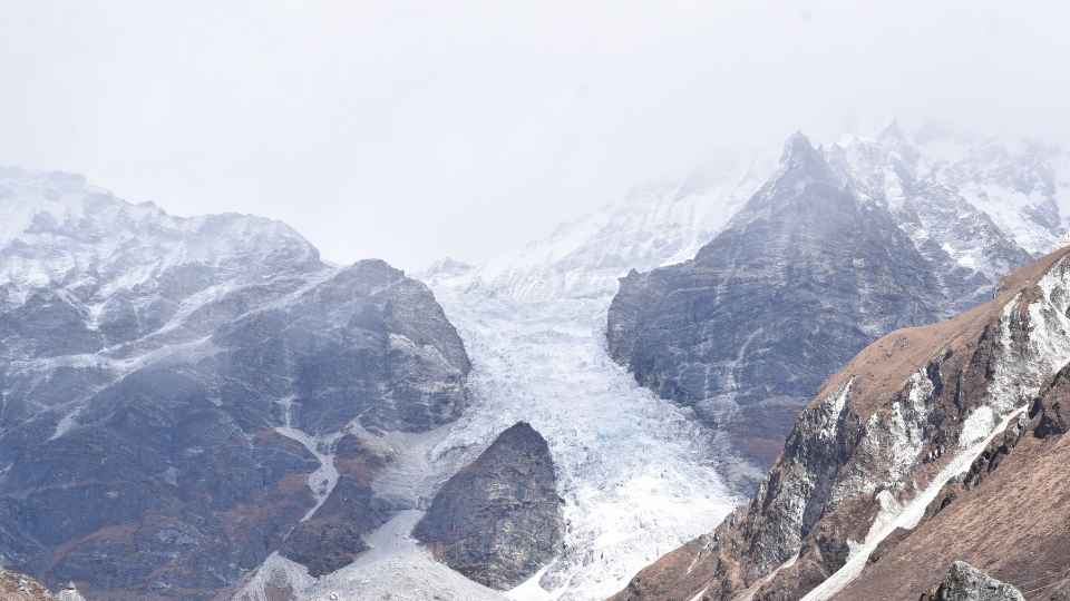
- Lirung Glacier: Lirung Glacier is a debris-covered ice mass descending from Langtang Lirung, a 7,234-meter Himalayan peak. Lirung Glacier terminates near Kyanjin Gompa and feeds directly into the Langtang River.
- Yala Glacier: Yala Glacier, a debris-free plateau glacier, faces southwest at elevations ranging from 5,140 to 5,690 meters. Yala Glacier serves as a critical benchmark glacier for in-situ glaciological measurements.
- Kimjung Glacier: Kimjung Glacier sits adjacent to Lirung Glacier and shares similar elevation profiles.
- Langshisha and Shalbachum Glaciers: Langshisha Glacier and Shalbachum Glacier are large valley glaciers dominating the remote upper reaches of the Langtang catchment.
The Number of Glacial Lakes in Langtang Valley
- Around 108 Lakes: According to tourism and park records, there are approximately 108 glacial lakes (often referred to locally as kundas) scattered across the Langtang National Park and its surrounding valleys.
- The Gosaikunda Cluster: The vast majority of these lakes are concentrated in the Gosaikunda area, which acts as a massive high-altitude catchment for melting ice and snow.
Notable Lakes in the Langtang Region
- Lirung Glacial Lake: Located at the terminus of the Langtang Lirung glacier, this lake is currently the focus of heavy scientific study. Satellite data shows it has been expanding rapidly (increasing in size by over 60% between 2010 and 2024) due to accelerated glacier retreat.
- Gosaikunda (4,380m): The most famous lake in the region and a designated Ramsar wetland site. It sits in a glacially carved basin alongside several other significant lakes, including Bhairab Kunda and Saraswati Kunda.
- Surya Kunda & Dudh Kunda: Other prominent alpine lakes in the immediate vicinity that feed into the Trishuli river system.
Current Conditions: Accelerated Retreat and Lake Expansion
Rising atmospheric temperatures directly drive glacier shrinkage in the Langtang region. Glaciers across the valley exhibit rapid thinning, negative mass balances, and up-glacier propagation of surface lowering.
- Lirung Glacier Retreat: Lirung Glacier retreated over 900 meters in recent decades. The glacier averages a retreat rate of 40 meters per year. South-facing ice cliffs on the debris-covered surface absorb solar radiation and melt rapidly during winter months.
- Glacial Lake Expansion: A 2025 study published in the Journal of Tourism and Himalayan Adventures confirmed that the proglacial lake at the terminus of Lirung Glacier quadrupled in size from 0.016 km² in 2010 to 0.064 km² in 2024. This rapid expansion severely elevates the risk of catastrophic Glacial Lake Outburst Floods (GLOFs).
- Yala Glacier Mass Loss: Geodetic data reveals Yala Glacier underwent accelerated mass loss since the late 2000s. The International Centre for Integrated Mountain Development (ICIMOD) recorded a negative mass balance of −0.81 meters water equivalent per year for Yala Glacier between 2011 and 2017.
Hydrological Outcomes and Impact on the Langtang Valley Trek
Glacier recession in Langtang Valley alters local hydrology, community livelihoods, and regional tourism. Rapid glacier melting initially increases river runoff. The Langtang River swells as the glaciers shed mass. However, future deglaciation models project a permanent decrease in total streamflow once the ice reserves vanish.
This permanent decrease in dry-season water flow impacts multiple sectors:
- Hydropower Generation: The Lirung Glacier proglacial lake currently generates 100 kW of hydropower energy for Kyanjin Gompa and Langtang village. These hydroelectric facilities risk losing stable dry-season water sources as the ice volume decreases.
- Local Drinking Water: Communities in Kyanjin Gompa (3,870 meters) already redirect drinking water pipes to sources located over two kilometers away due to dried-up local springs.
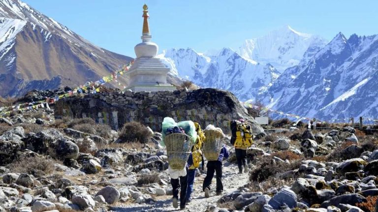
- Trekking and Tourism: Trekking agencies use structural data on moraine stability to adapt Langtang Valley Trek itineraries. Expanding glacial lakes threaten downstream trails and infrastructure, making early warning systems essential for safe tourism operations.