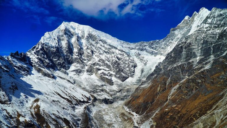
41 Best Photos from Langtang Trek
The Langtang Valley Trek offers visual photos unlike any other region in the Himalayas. As you traverse the ancient trade routes from Syabrubesi toward the sacred highlands, every bend in the trail reveals a new perspective of Langtang Lirung (7,227m) towering over the landscape. These photographs capture the stark transition from lush rhododendron forests and bamboo thickets to the high-altitude alpine meadows where yaks graze beneath the watchful gaze of the Ganesh Himal range.
Images from this region transcends simple landscapes; it documents the profound resilience of the Tamang and Tibetan heritage. From the intricate wood carvings of rebuilt teahouses to the fluttering prayer flags at Kyanjin Gompa, these images highlight the spiritual heartbeat of the valley. You will see the ethereal morning light hitting the glacial moraines and the golden hour reflections on the Langtang Khola river, providing a comprehensive look at why this “Valley of Glaciers” remains a sanctuary for trekkers and photographers alike.
Breathtaking Images of Mountains Seen From Langtang Valley

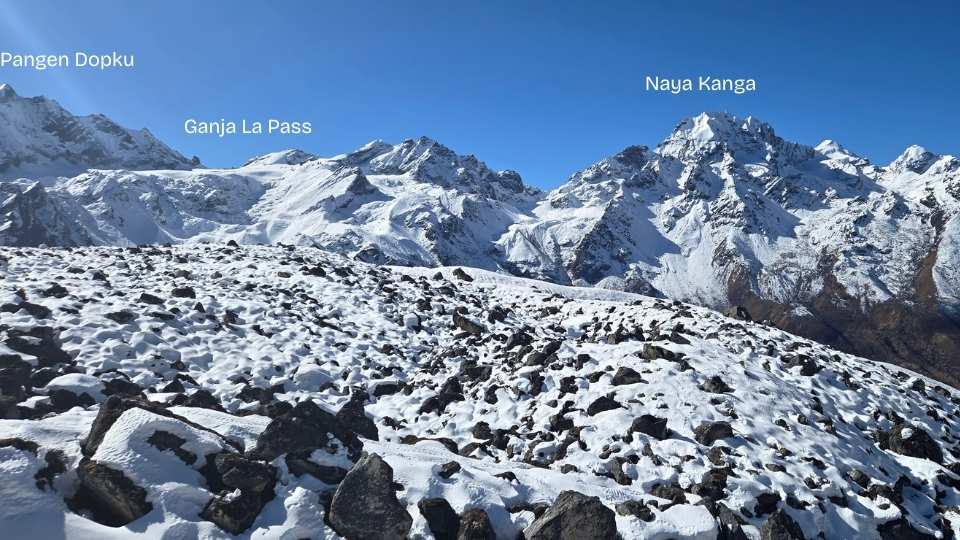

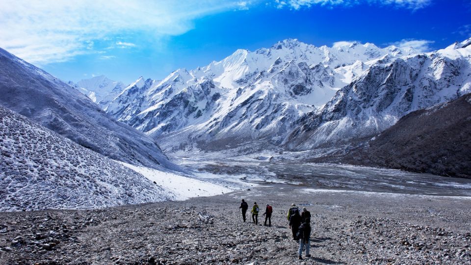
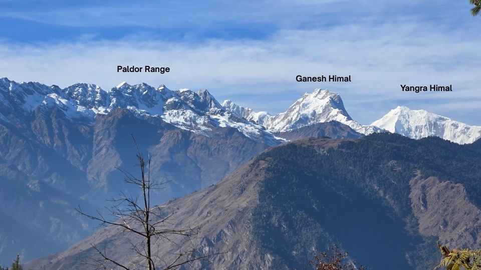
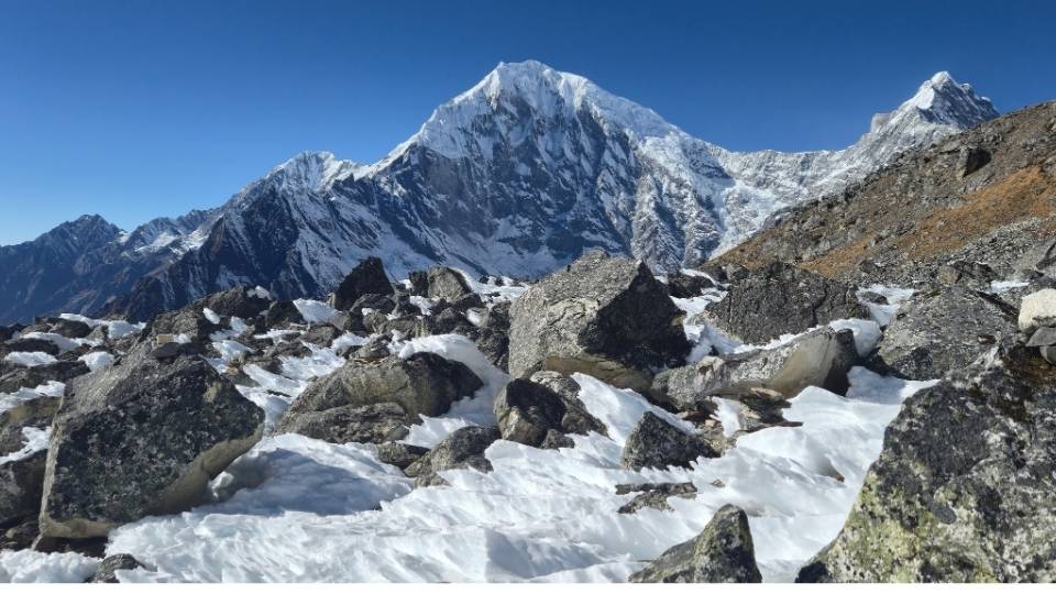
Tserko Ri Photos
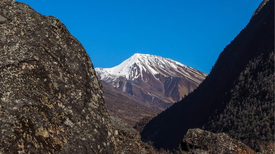
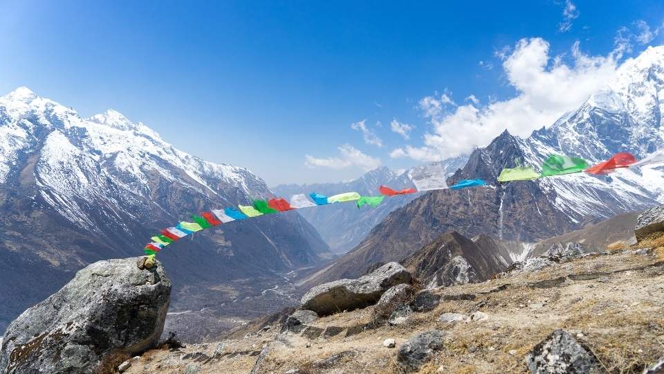
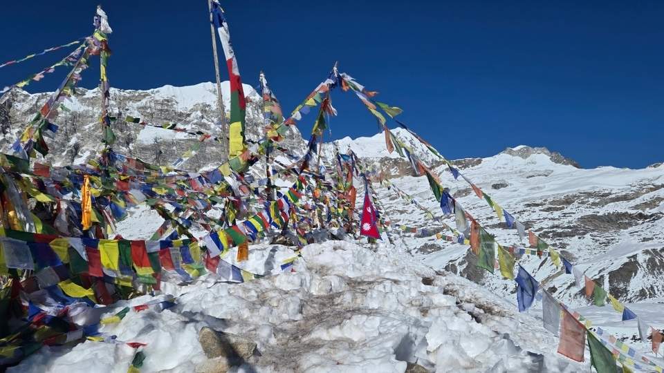
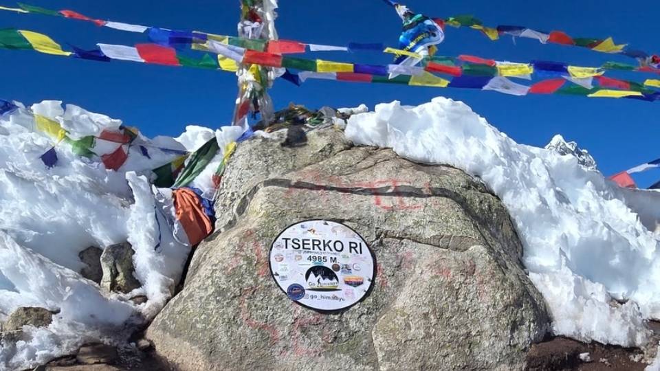
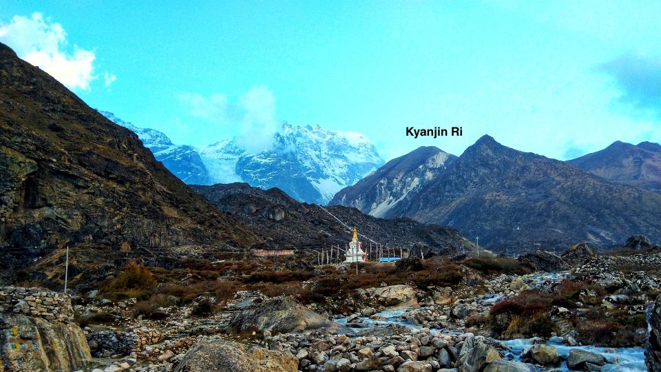
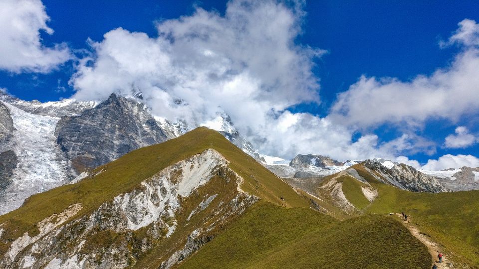
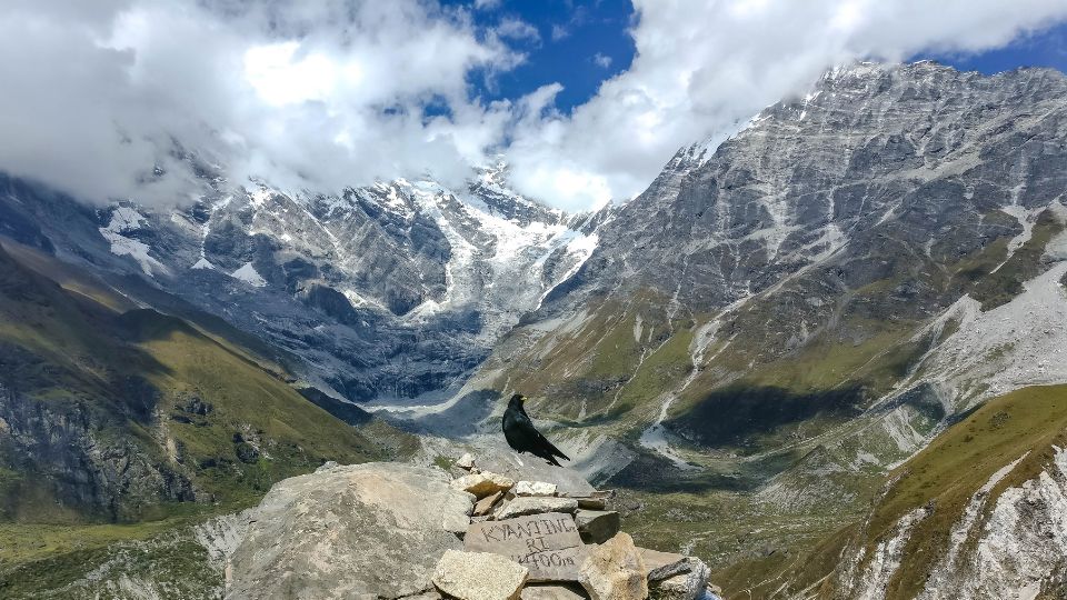
Kyanjin Ri Photos
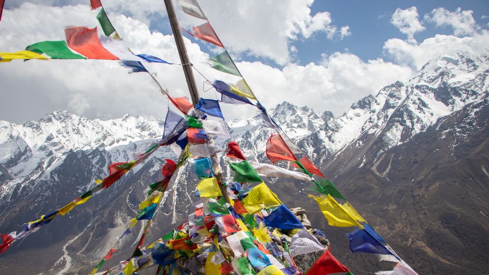
Pictures of Villages in Langtang Valley
Kyanjin Gompa

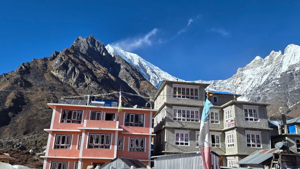
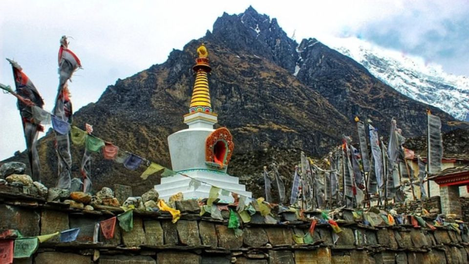
Langtang Village

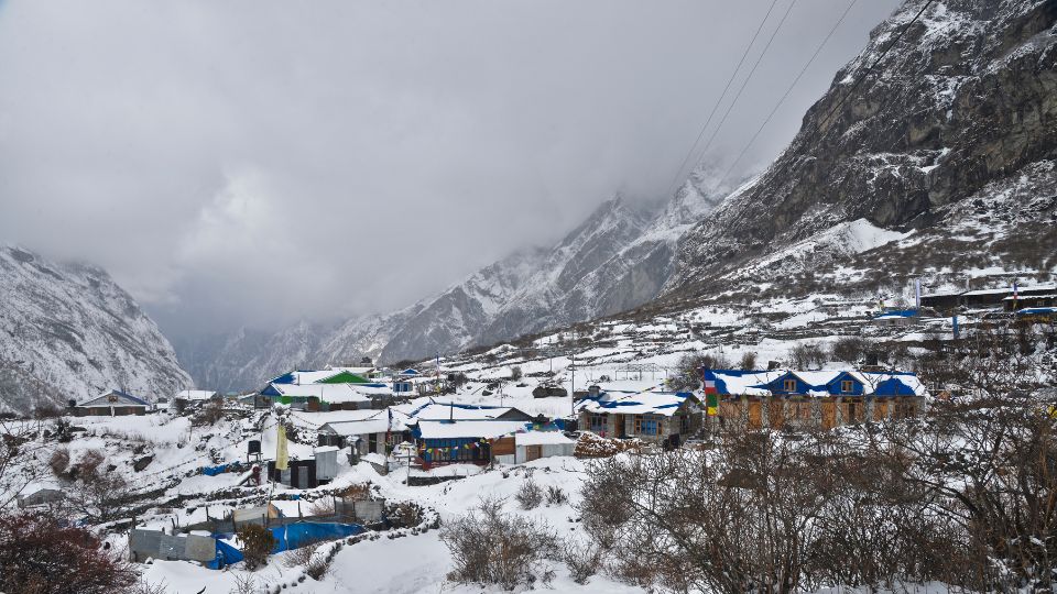
Syabrubesi
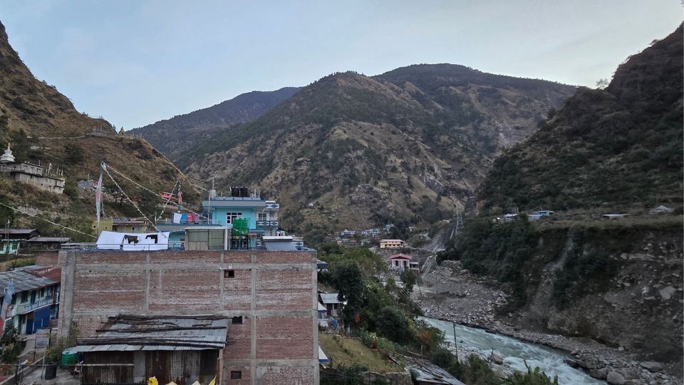
Sherpagaon

Mundu Village
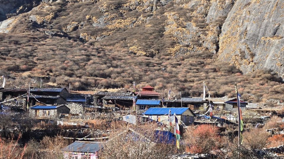
Beautiful Images of Animals in Langtang Valley
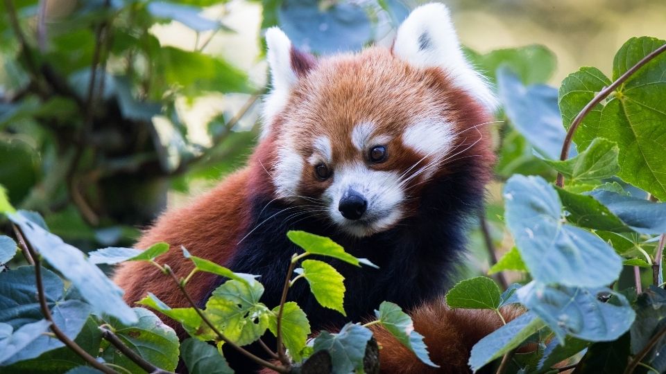
Red Panda
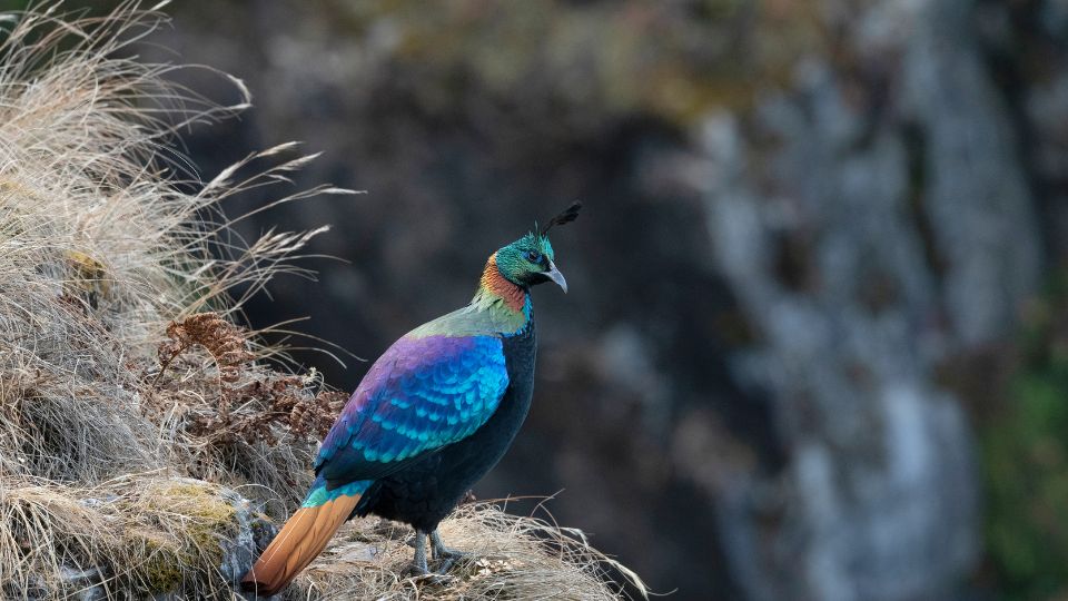
Himalayan Monal
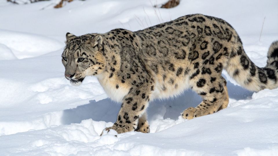
Snow Leopard
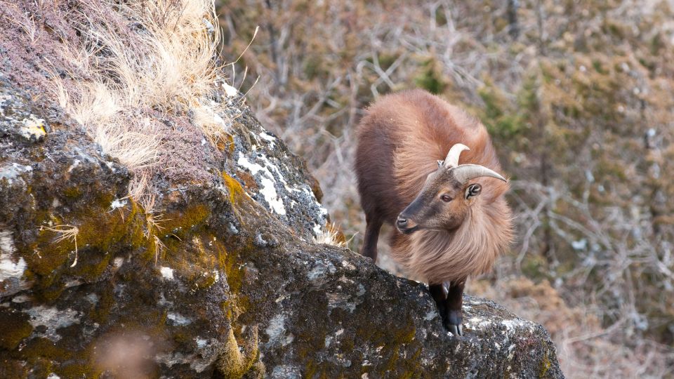
Himalayan Tahr
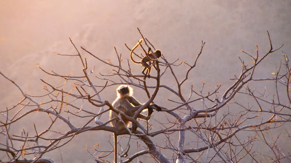
Langur Monkeys
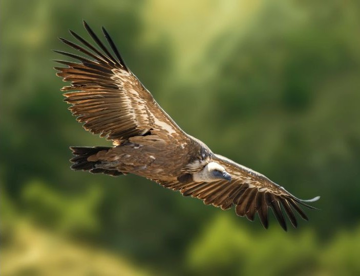
Himalayan Griffon
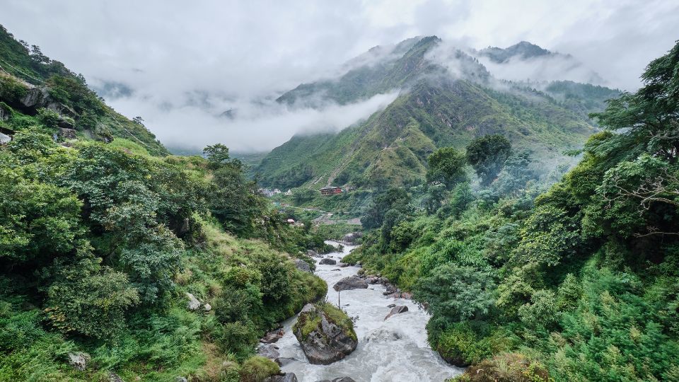
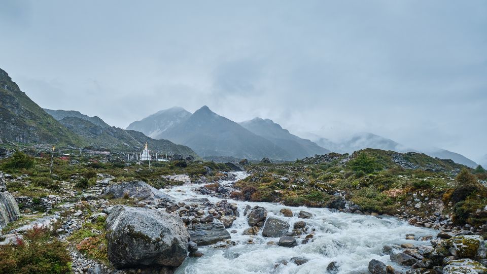
Langtang River Photos
Trekkers Photos in Langtang Valley


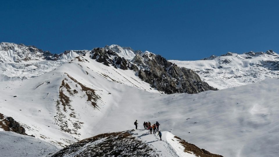
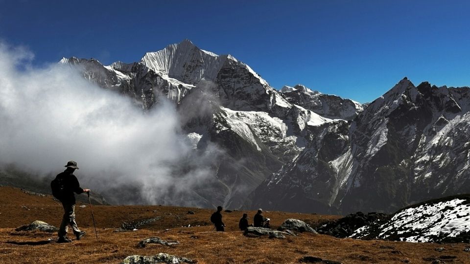
Langtang Trail Photos
Gosaikunda Trail From Langtang Valley
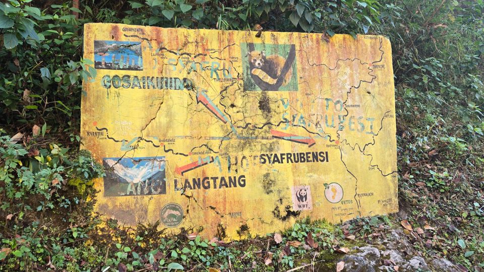
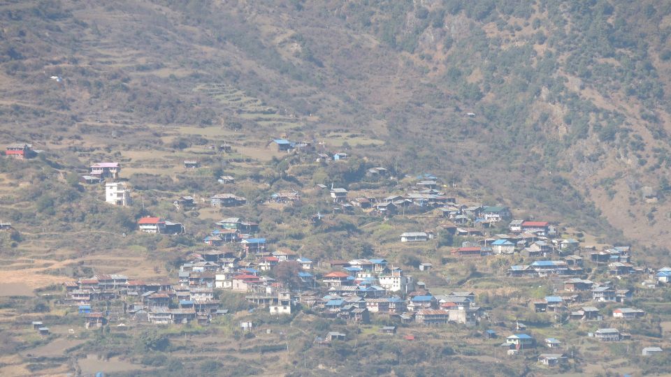
Tamang Village in Langtang
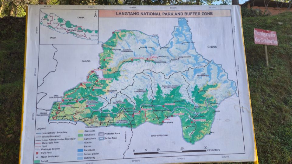
Langtang Valley Geographic Map
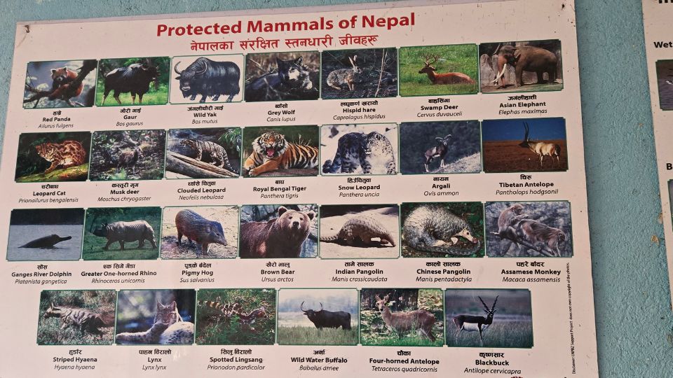
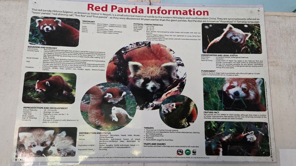
Langtang Valley Protected Animals
Langtang Valley Red Panda Information
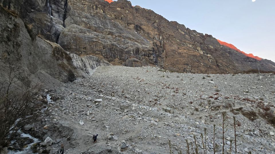
Old Langtang Village Site
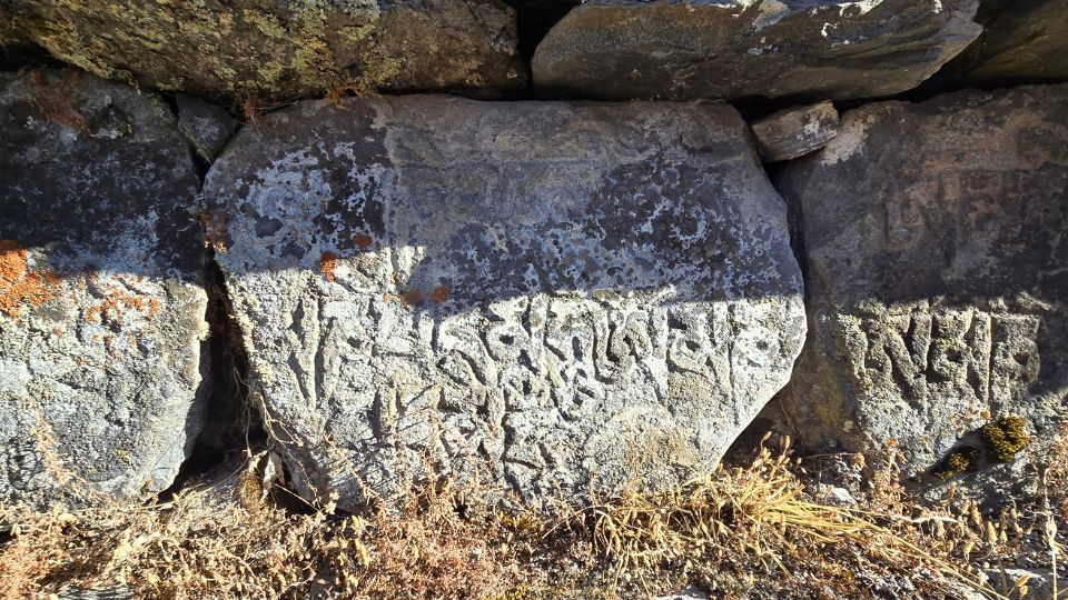
Mani Stones in Langtang Valley
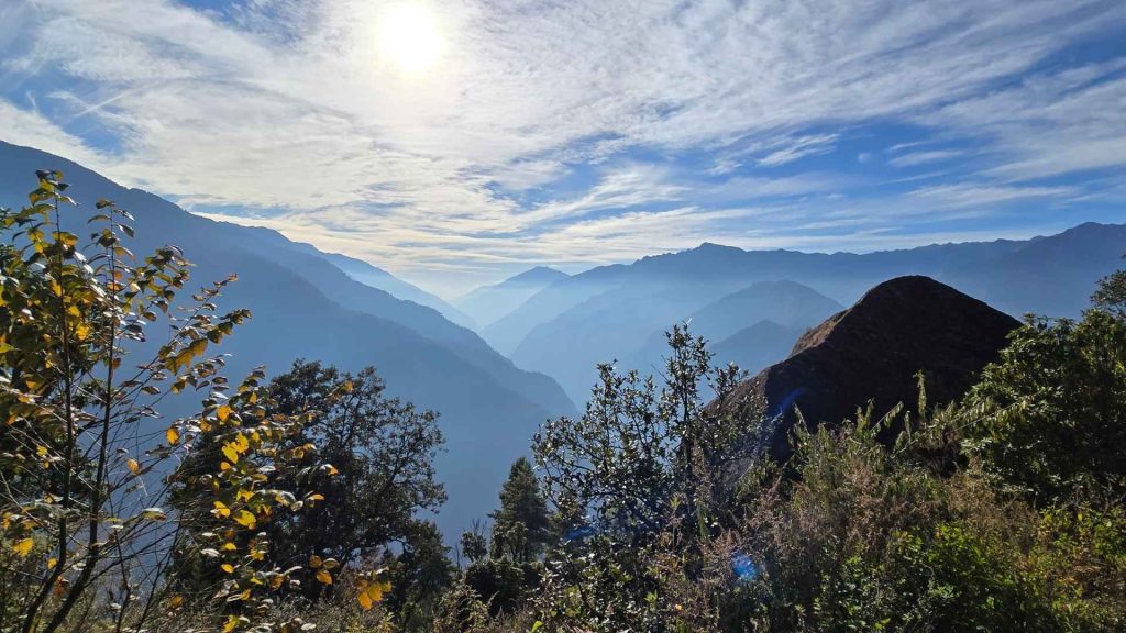
Langtang Valley Verdant Hills
These 41 photos from the Langtang Trek represent more than just a gallery of the Central Himalayas; they are a testament to the region’s recovery and the enduring spirit of the Tamang people. As you move from the river-fed forests of Lama Hotel to the high-alpine plateau of Kyanjin Gompa, the landscape transforms into a high-definition study of geology and faith. Whether it’s the symmetry of Langshisha Ri or the intimate details of a stone Mani wall, these images offer a glimpse into a valley that remains one of Nepal’s most accessible yet profound wilderness experiences.
While a camera can capture the scale of the Langtang Lirung massif, it cannot fully replicate the thin, crisp air at 4,000m or the warmth of a local teahouse hearth. We hope this visual guide serves as the final spark of inspiration for your own journey into the Langtang National Park. The trail is ready, the peaks are waiting, and the story of the valley is best experienced with your own boots on the ground.